Exploring 100 years of landscape change in BC's Mt. Robson Provincial Park
  • Home
  • About
  • Stations
    • Stn 8: Image 2-16
    • Stn 8: Image 5-16
    • Ptarmigan 1: Image 125
  • Gallery
  • Resources

Resources for the Visualizing 100 Years of Landscape Change study


Vegetation Resources Inventory: The B.C. Land Cover Classification Scheme. March 29, 2002.
BC_VRI_2002.pdf
File Size: 284 kb
File Type: pdf
Download File


EOSD (Earth Observation for Sustainable Development of Forests) Land Cover Classification Legend Report. Mike Wulder, Canadian Forest Service and Trisalyn Nelson. January 2003.
EOSD Land Cover Report.pdf
File Size: 361 kb
File Type: pdf
Download File


Remote sensing and forest inventory for wildlife habitat assessment
McDermid et. al. 2009
mcdermid_2009.pdf
File Size: 174 kb
File Type: pdf
Download File


Interim report
on historic image availability. Jan 4, 2018.
Interim_Report_1.pdf
File Size: 1048 kb
File Type: pdf
Download File


Interim report on classification categories. Feb 16, 2018.
interim_report_2.pdf
File Size: 649 kb
File Type: pdf
Download File


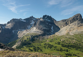
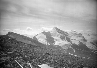
Panoramic images, historic and modern, as a collection for download.
Mt. Robson Provincial Park


High resolution aligned historic / modern image pairs with their classification masks as a collection for download.
Mt. Robson Project: Images and analysis masks
HOME
ABOUT
STATIONS
RESOURCES
Powered by Create your own unique website with customizable templates.
  • Home
  • About
  • Stations
    • Stn 8: Image 2-16
    • Stn 8: Image 5-16
    • Ptarmigan 1: Image 125
  • Gallery
  • Resources